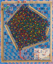
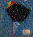
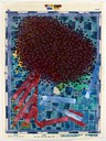
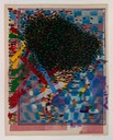
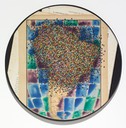
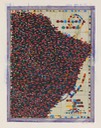
His strategies often begin with the co-optation of highly abstracted representations: 50,000-ft. portraits of Earth, such as maps, then accumulating references to others; abstracted portraits of group identities, such as flags and insignia. Mills revels in the beauty, clarity, and utility of these inventions—maps as world knowledge, flags as celebrations of pride of identity—even as he wants us to be critically aware of the problems posed by cartography’s transcendent views, and vexillography’s assertions of dangerous, patriarchal tribalisms.
—Laurie Hogin, “Haunted Data" essay, Dan Mills, Human Topographies Exhibition Guide, 2019-20